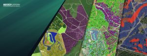
Several partners involved with ‘De Kien’ in Deventer are working on digital twin applications. ‘De Kien’ is the name of an innovative campus and development hub, but also a network of partners working together on technological advancements.
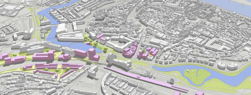
A digital twin is not one single solution, but rather a chain of technically connected products supporting the exchange of the necessary data. The use case in Deventer was to make it easy for urban planners, climate consultants or students to interactively develop heat stress plans for the city. TAUW, a Tygron partner, created a digital twin by linking stand-alone applications; Esri and Tygron are connected using FME .
The demo enables free drawing of objects such as new trees, for example, and the uploading of entire urban plans. To arrive at a heat-resistant city, parameters including the physiological equivalent temperature (PET), shade and the accessibility of cool locations are calculated and shared live by Tygron, while ArcGIS Online facilitates the visualization, drawing and database storage. The applications are not only connected on the surface, but the data is also synchronized behind the scenes and updated every night so that all applications use the same live data.
Using the same approach, the goal is now to expand the planning capabilities to other domains, such as water, biodiversity, underground planning and other urban challenges that lie ahead. Thise use of multiple interconnected tools rather than a single tool will enable De Kien to be designed in a truly integral way.
The demo was presented during the session called ‘A smart city, this is how you do it’ in Deventer on 7 June 2023. For more information, see:
