The Tygron Support team often receives the question: we already have GIS software, why should we use the Tygron Platform? In this article, we describe the differences, overlaps, and complementarities between regular GIS software, such as ArcGIS Pro or QGIS, and the Tygron Platform.
GIS Software Applications
GIS software applications are designed to collect, manage, analyze, and visualize geographic data. They provide a platform for working with spatial information in various forms, such as maps, aerial photos, satellite images, and spatial data files.
Functions of GIS Systems
- Data Management:
- Collect and store geographic data.
- Manage data layers such as for roads, rivers, vegetation, etc.
- Data Analysis Methods:
- Overlay Analysis: Combines multiple data layers to identify spatial relationships.
- Buffer Analysis: Creates zones around objects, for example, for impact analysis around a river.
- Network Analysis: Studies connectivity and routes within a network, such as roads and pipelines.
- Visualization:
- Present data in map form, graphs, and 3D models.
- Improve understanding of spatial patterns and relationships.
- Examples of applications:
- Traffic Management: Optimize traffic flows and identify bottlenecks by analyzing traffic data and accident locations.
- Utility Management: Locate and manage infrastructure such as water pipes, electrical grids, and sewer systems.
- Business Location Analysis: Determine the best location for stores or offices by analyzing demographic data and accessibility.
- Environmental Pollution Monitoring: Map and analyze air and water pollution to identify hotspots and plan measures.
The Tygron Platform: Advanced GIS-Based Modeling
The Tygron Platform is designed for performing advanced analyses and scenario calculations based on GIS. It offers the ability to create and analyze models that simulate real-world processes and phenomena. It integrates spatial data with analytical techniques to make predictions and test scenarios.
Features of the Tygron Platform Based on GIS
- Integration of Spatial Data:
- Combines various types of data to create complex models.
- Modeling Methods:
- Deterministic Models: Predict outcomes based on fixed input parameters, such as floods, droughts, noise, and particulate matter.
- Combined GIS Analyses: Such as combining connectivity and routes with heat stress analyses for calculating distance to cooling areas and combining floods with evacuation routes.
- Spatial Excel Calculation Models: Makes Excel calculation models spatial by automatically retrieving data from projects, such as flood areas, flood duration, and combining damage estimates.
- Scenario Analysis and Simulation:
- Test various scenarios to predict future outcomes, such as the effects of climate change.
- Calculate housing development plans and immediately analyze their effects.
- Visualization:
- Use maps, 3D models, and graphs to present model results.
- Examples of applications:
- Water Management: Model floods, plan evacuations.
- Urban Planning: Calculate scenarios and test urban plans.
- Climate Adaptation: Predict floods, droughts, heat stress, and conduct impact analyses.
- Nature-Inclusive Building: Perform calculations on biodiversity, nature, and green connectivity.
Differences Between GIS Software and the Tygron Platform
- Functionality:
- GIS Systems: Focus on managing and analyzing geographic data.
- Tygron Platform: Uses GIS data to create predictive models and simulate scenarios.
- Purpose:
- GIS Systems: Visualize data and perform basic analyses.
- Tygron Platform: Generates insights by modeling complex processes and interactions.
Interested in reading more about the groundbreaking technology behind the Tygron Platform, or what it means for you as a GIS expert? You might be interested in the following articles:
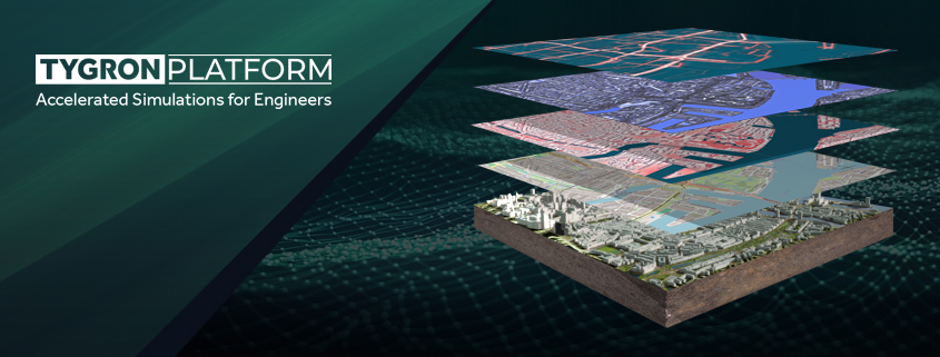
The Technological Backbone of the Tygron Platform: GPU Power, Interoperability, and GIS-Based Modeling
At Tygron, we understand that as an engineer, you aim to stay at the forefront of technological innovation, seeking robust solutions tailored to meet the demanding needs of modern engineering
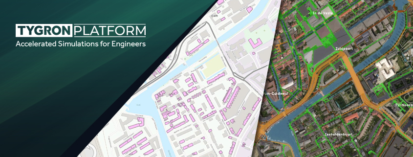
The 3 reasons why the Tygron Platform is an indispensable addition to the toolbox of GIS-experts
As a GIS expert, you are familiar with the power of traditional GIS tools such as QGIS and ArcGIS. These tools are excellent for collecting, managing, and visualizing geographic data.
Complementarity Between GIS Software and the Tygron Platform
- Foundation for Modeling: GIS software provides the tools for collecting, storing, and managing spatial data, which forms an essential foundation for GIS-based modeling by the Tygron Platform.
- Data Integration: The Tygron Platform leverages GIS systems for data input. It supports open web formats (such as WMS, WFS, WCS), a documented API, and Python SDK, enabling integration with other applications and services, such as Web Viewers, QGIS, ArcGIS Online, Dashboards, FME, Unity, and Cesium.
- Collaboration and Visualization: Tygron easily integrates with tools like QGIS and ArcGIS Online for seamless, and ‘live’, collaboration and visualization. This offers users advanced possibilities for scenario analysis and data interpretation.
See how to integrate data from QGIS into your Tygron project:
See how to integrate data from ArcGIS Online into your Tygron project:
The Tygron Platform Technology
The technology behind the Tygron Platform allows data to be integrated, simulated, and presented. Engineers need advanced tools to manage the complexity and scale of today’s projects. That’s why we developed the Tygron Platform – a powerful, low-code solution designed for engineers to integrate data, execute simulations, and create presentations with unmatched precision and ease.
Discover the three technological drivers behind the Tygron Platform that offer speed and accuracy in handling your data and simulations:
- GPU-Driven Simulations: Execute complex simulations in parallel using advanced cloud-based GPU technology.
- Open Standards & Interoperability: Seamlessly integrate with your preferred tools to enhance collaboration.
- GIS-Based Modeling: Quickly build detailed projects and simulations from your source data.
How does it work?
- Download our free trial
- Start your own project
- Integrate, simulate, and present your own data.
Embrace the future of urban planning and environmental simulations with the Tygron Platform where extreme computational power, seamless interoperability, and rapid digital twin creation converge to elevate your projects to new heights.
