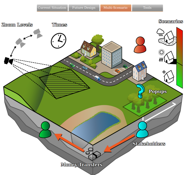
Simulate and predict the impacts of different development plans using various Scenarios.

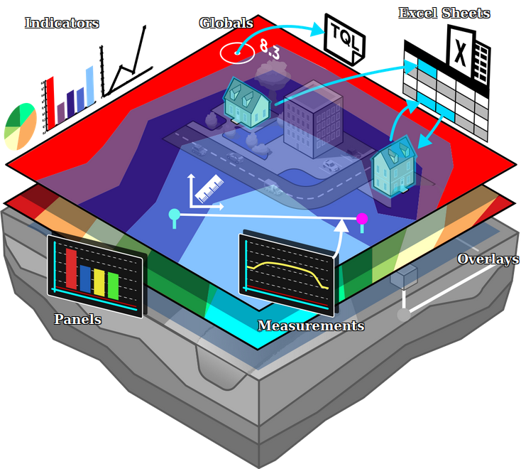
Indicators can be used to convert Simulation results into a metric value to measure potential improvements.
Several default Indicators and more complex, from the Tygron Community, can be imported directly from the Public Share.

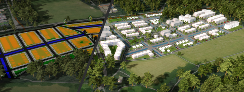
Parametric Designs in the Tygron Platform can be used to automatically place elements of a Spatial Plan, such as buildings, roads, greens and waterways in a certain layout for a given area. Requirements for the design can be configured using a set of parameters.