Roadmap
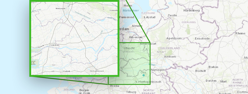
Automated extraction of project-specific data from large area datasets, with Float 32 support on Geoshare.
0
Automated extraction of project-specific data from large area datasets, with Float 32 support on Geoshare.
By supporting the new styles=float32, multiple GeoTIFF files can now be set up as a WMS/WCS overlay with multiple layers as timeframes, directly from the Geoshare.
See also: https://previewsupport.tygron.com/wiki/Version_2024.3.0

