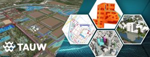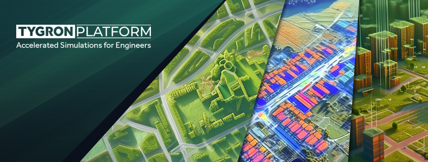
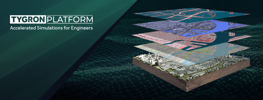
The Technological Backbone of the Tygron Platform: GPU Power, Interoperability, and GIS-Based Modeling
At Tygron, we understand that as an engineer, you aim to stay at the forefront of technological innovation, seeking robust solutions tailored to meet the demanding needs of modern engineering
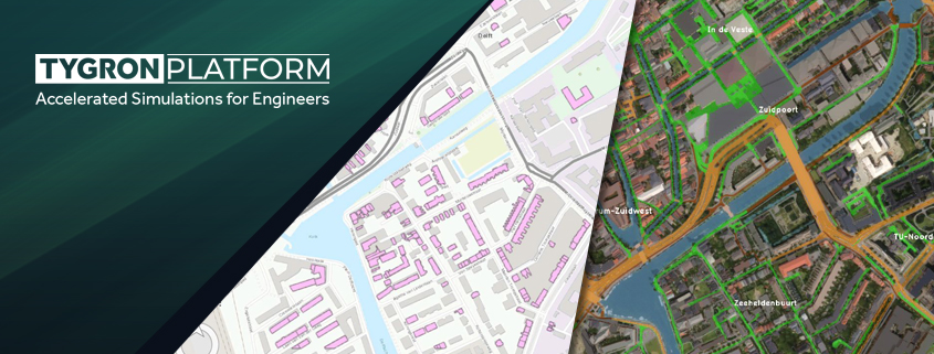
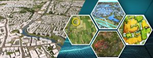
The 3 reasons why the Tygron Platform is an indispensable addition to the toolbox of GIS-experts
As a GIS expert, you are familiar with the power of traditional GIS tools such as QGIS and ArcGIS. These tools are excellent for collecting, managing, and visualizing geographic data.