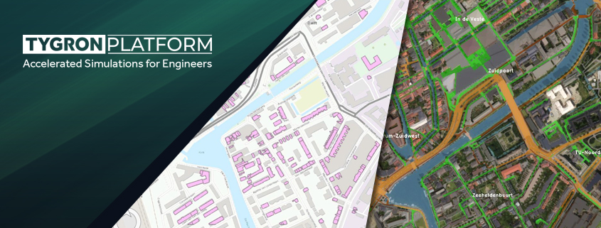
From GIS to Advanced Modeling: Get More out of your GIS Data with the Tygron Platform
The Tygron Support team often receives the question: we already have GIS software, why should we use the Tygron Platform? In this article, we describe the differences, overlaps, and complementarities
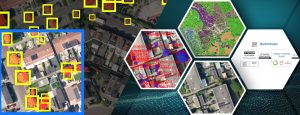
The Technological Backbone of the Tygron Platform: GPU Power, Interoperability, and GIS-Based Modeling
At Tygron, we understand that as an engineer, you aim to stay at the forefront of technological innovation, seeking robust solutions tailored to meet the demanding needs of modern engineering