The Tygron Platform is developing as an open calculator, which gives you the possibility to integrate data yourself, enrich data with Artificial Intelligence, and build your own simulations. On February 4, 2025, we organized a webinar about this for water experts. The following topics were discussed:
- Building your own simulations on an open calculator, by Maxim Knepflé: Download presentation
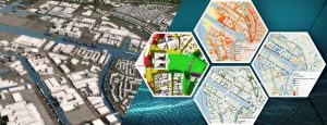
- The Tygron Water Module and Artificial Intelligence, by Ward van Laatum:
- Download Presentation
- View the Veluwe project with topographic map and AI inference here: https://preview.tygron.com/web/2dmap.html?token=62a8e9f69AKQvxF4pgb2QfMXPGtQgpEP
Watch the full webinar here:
The functionality we demonstrated during the webinar is available on our Preview Server.
- If you are interested in getting started on the Preview Server yourself, request access by sending a message via the contact page on this site or by sending an email to support@tygron.com
- Also check out the available documentation such as AI Suite, Demo Iteration Project and our training offer Tygron Academy
- Do you have any questions? We are happy to help you via support@tygron.com.
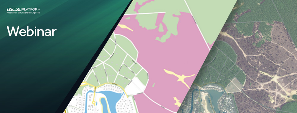
The Tygron Water Module and Artificial Intelligence
In this webinar we showed how you can get started with Artificial Intelligence to perform better water simulations.
To apply AI as an expert, you need data, computing power and a neural network. You are of course familiar with the Tygron Platform from processing large amounts of data with an awful lot of computing power.
In this Webinar we showed how you as a user of the Tygron Water Module can train your own neural networks or use a trained model. Using a concrete example we showed:
- In the absence of detailed input data, you can still perform meaningful analyses.
- How a neural network works and how you can use it as a hydrologist yourself
- How you can create your own neural network, or further develop it for your own specific use case
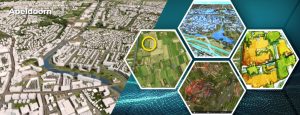
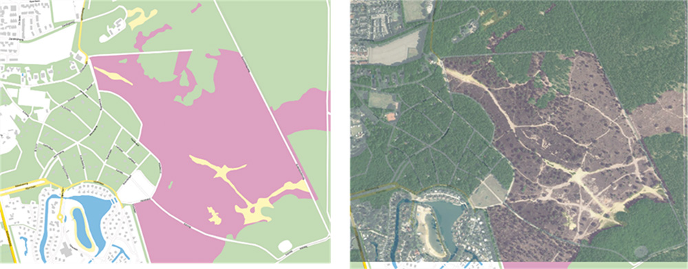
We demonstrated a concrete example, developed in collaboration with the Vallei en Veluwe water board. Heathland, forest, sand, meadows, or other features are automatically recognized based on satellite images for better determination of land use. This leads to better input data for roughness, infiltration and microrelief and thus leads to better models for surface flow and groundwater modeling.
Build your own simulations
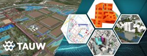
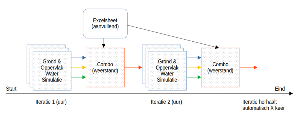
One of the biggest developments we have worked on in recent years is the possibility to create your own calculation models.
A functionality that many users already work with are the combo overlays. A new component in these developments is the possibility to calculate iteratively between different simulations and with different input parameters. This makes it possible for the user to create, share and reuse the calculation model for, for example, breach growth, soil subsidence or the saturated zone.
In this webinar we walked through these developments using a concrete example. The concrete example is the unsaturated zone, which is being developed in collaboration with Waternet. -> What makes that unsaturated zone possible?
How you can get started with the latest developments yourself?
There is a new release cycle, in which we no longer implement all new developments for everyone on the LTS at a fixed time in the spring. Now that the Tygron Platform is being used more and more widely, many users want the LTS to be an environment that does not change every year for longer.
So how do you get access to all these new developments? We would like to tell you about the new release cycle and how you can get started with all these great developments.