
- Automating processes and tasks
- Open GEO standards & APIs
- Visualize complex spatial data
GIS and Data Analysis
GIS experts face complex challenges in integrating data with other systems and often the lack of standardized approaches, hindering seamless collaboration. At Tygron we realize that as a Geodata professional you want to be in full control of your spatial data and GIS analyses, and that you want your data to flow unhindered.
Tygron and GIS
To support this goal, we have developed the Tygron Platform. The Tygron Platform is designed to perform advanced analyzes and scenario calculations based on GIS. It provides the capabilities to create and analyze models that simulate real processes and phenomena. It integrates spatial data with analytical techniques to make predictions and test scenarios.
The Tygron Platform offers an innovative approach that goes beyond traditional GIS tooling. By integrating data based on linked data principles and using supercomputing, the platform makes it possible to perform integrated analyzes quickly and efficiently. For GIS experts, this not only means an improvement in the speed and accuracy of spatial modeling, but also a deeper insight into complex spatial issues.
For example
Imagine that you are mapping out options to limit damage in the event of a flood. With traditional GIS tools, you would have to analyze data about roads, population density, and elevation models separately and then manually integrate them. The Tygron Platform allows you to integrate these datasets and run a simulation that takes all relevant factors into account in one go. This gives you immediate insight into the most effective evacuation routes, vulnerable objects and the expected impact on the population.
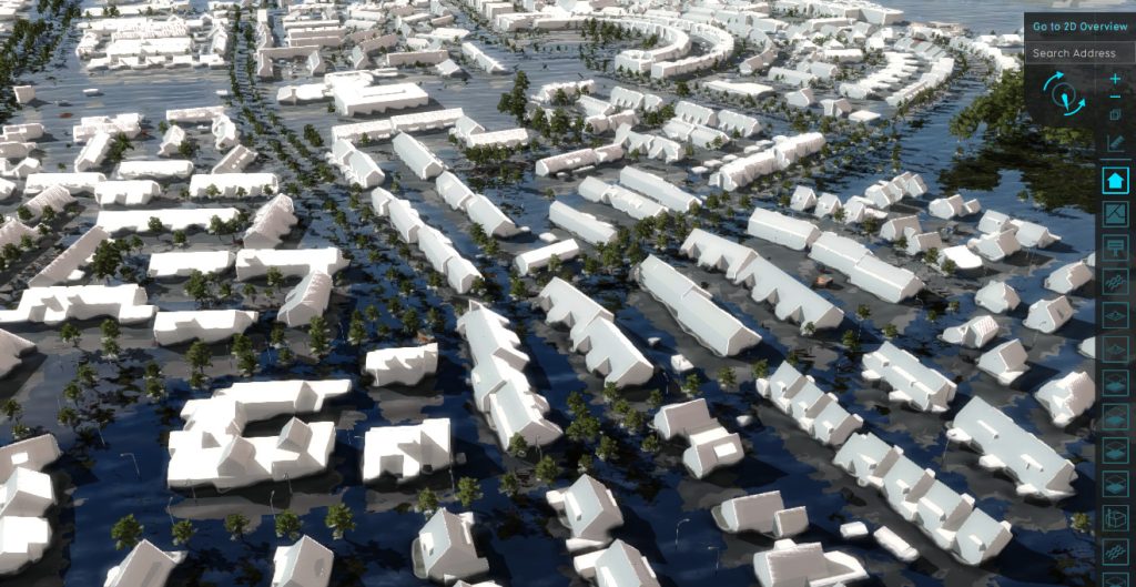
Functionalities for GIS users
- Integration of Spatial Data:
- Combine different types of data to create complex models, by working with GIS standards.
- Modeling methods:
- Deterministic Models: These models predict results based on fixed input parameters, such as floods, drought, heat stress, noise and particulate matter.
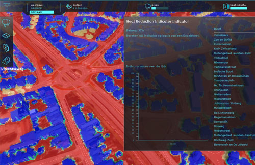
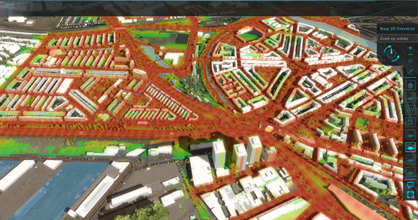
- Combined GIS analyses: Such as combining connectivity and routes with heat stress analyzes for distance to coolness calculations and combining flooding with evacuation routes. Using average and combo overlays.
- Spatial Excel calculation models: Makes Excel calculation models spatial by automated data retrieval from projects, such as flood areas, duration of floods and combining damage. Using TQL.
- Scenario Analysis and Simulation:
- Testing different scenarios to predict future outcomes, such as the effects of climate change.
- Calculate housing plans and immediately analyze their effects.
- Visualization:
- Use of maps, 3D models, web viewers and graphs to present model results.
The Tygron Plan
1. Book a Meeting
Align your organization around data and simulations. Explore the possibilities with our assistance.
2. Workshop with Demo
Create a foundational strategy aligned with your organization mission and workflows. We can assist you with a structured workshop.
3. Implementation Plan
Unlock the potential of your data and simulations independently, focusing on scalability, interoperability, management, and maintenance.
Be in full control
With supporting over 100 organizations in 20 countries with 30,000 projects, Tygron assists in seamlessly integrating diverse spatial datasets and establishing a versatile environment within your organization to efficiently streamline and automate geospatial processes. This ensures a smooth and seamless integration and analysis experience within the GIS framework.
This way, you can efficiently integrate diverse datasets, centralize GIS data, and collaborate across fields for holistic spatial problem-solving. GIS data and data integration become key enablers in your organization, fostering collaboration among experts in urban planning, environmental science, and hydrology and promoting a holistic and integrated approach to spatial problem-solving.



Get started with AI yourself: Open source and accessibility on the Tygron Platform
The world of artificial intelligence (AI) can sometimes seem complex and inaccessible, but the Tygron Platform proves that this does not have to be the case. With a focus on
How do we use AI to better retain precipitation where it falls?
Challenge The Netherlands is facing a growing water management problem: the groundwater level drops too far in dry summers, leading to the drying out of agricultural land, nature reserves and
Calculating the entire Netherlands on demand with a supercomputer
Tygron CTO Maxim Knepflé: “Calculating the entire Netherlands with SimNL offers many advantages” During a recent session at the Tygron Community of Practice, CTO Maxim Knepflé delved deeper into the

Digital Twins for Spatial Planning: Innovation Driven by Experiments, Hackathons, and Technological Integration
Digital Twins are rapidly emerging as a revolutionary tool for addressing the complex challenges of our environment. This technology promises a new way of working, but it is not yet
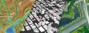
Getting a grip on scenarios for the design of greenery: Esri and Cobra on steroids with the Tygron Platform
Suppose you are a policy officer and you are concerned with the future green design of your municipality. You must take complex aspects such as flooding, heat stress and affordability
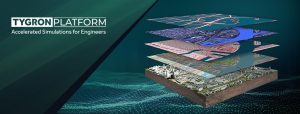
Unlocking the Power of High-Performance Computing for Complex Engineering Projects
Introduction to High-Performance Computing (HPC) Engineers are dealing with large amounts of data to face the challenges of increasingly complex use-cases in built environments. There is a lot of information
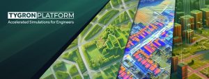
From GIS to Advanced Modeling: Get More out of your GIS Data with the Tygron Platform
The Tygron Support team often receives the question: we already have GIS software, why should we use the Tygron Platform? In this article, we describe the differences, overlaps, and complementarities
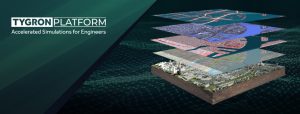
The Technological Backbone of the Tygron Platform: GPU Power, Interoperability, and GIS-Based Modeling
At Tygron, we understand that as an engineer, you aim to stay at the forefront of technological innovation, seeking robust solutions tailored to meet the demanding needs of modern engineering
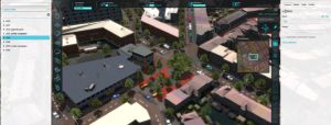
Data driven approach to climate challenges and biodiversity using smart combinations of Tygron and FME
GAES is a consultancy for greening and climate challenges, biodiversity objectives and social issues. Central to their data-driven concept is the role of ecosystem services. Ecosystem services include all goods
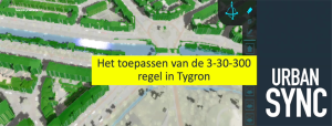
3-30-300 for healthier urban living with Urban Sync
The 3-30-300 rule is a rule of thumb for urban forestry and urban greening that was developed by Professor Cecil Konijnendijk, director of the Nature Based Solutions Institute. This rule states
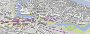
Interactively developing urban plans by using connected geo-applications in a Digital Twin
Several partners involved with ‘De Kien’ in Deventer are working on digital twin applications. ‘De Kien’ is the name of an innovative campus and development hub, but also a network of partners
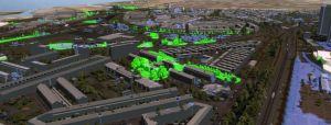
Modelling the flying routes of bats in a Digital Twin
The City of Rotterdam faces a huge challenge. Many new homes need to be built. The city must remain accessible, with opportunities for business. But there is also a strong

