Extended Combo and Average Overlay functionalities

More options to work with the Combo and Average overlays such as:– timeframe support– percentile option in the Combo Overlay– attribute arrays– No-data interpolation in Average Overlay https://youtu.be/Vh0N_svlSjUhttps://youtu.be/VsJjZfvYumU Read more: […]
Groundwater: Improvement of yearround calculations

Improvement for realistic simulation year round groundwater under wet circumstances (e.g. Peat meadows). Adjustment of het averaging algorithm such that only in case water on land is higher than a […]
Unsaturated percentage as attribute
It would be nice if you could specify the initial value for the saturation degree based on an area. This way you can distinguish between wet areas and dry areas […]
Export Areas in Geoshare
It would be nice to export areas (geojsons) and hightmodels (geotiffs) to the Geoshare.
Support for timeframes in Combo Overlays and Average Overlays
When implementing a combo or average (avg) overlay, it is now possible to use the timeframe values of the input overlay(s). A Water overlay with 10 timeframes should result in […]
Water hybrid mode
This hybrid mode (average + shallow) averages the waterways while still allowing the water to flow over land surfaces. Can be very useful in use cases where slightly larger grid […]
Unsaturated Zone Storage Overlay
There was already an overlay in the Tygron Geodesign Platform for showing the water storage in the underground (unsaturated + groundwater). This new overlay is limited to the unsaturated part, […]
Unsaturated Zone Fraction Overlay
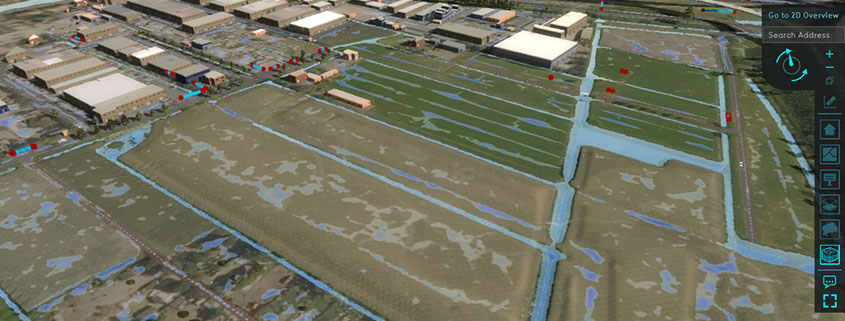
To make the initial saturation of the unsaturated zone more transparent, you can now also display the saturation of the unsaturated zone in a new overlay type. After a rain […]
Travel Distance Overlay
Travel Distance Overlay supports blockages from (timeframe) grid values and supports a new ‘distance to road’ setting. The new designed Wizard is to help users setup the Travel Distance. Documentation: –https://previewsupport.tygron.com/wiki/Travel_Distance_Overlay […]
Initial Saturation Unsaturated Zone
The unsaturated groundwater zone used to always start empty. With this new attribute (groundwater wizard tab) you can also set an initial saturation, for example 60%. This means that if […]

